Geography of the Netherlands
Dutch Geography and location
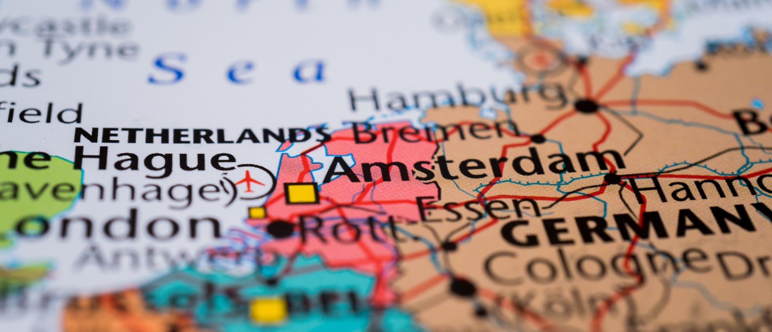
The Netherlands is located in northwest Europe, on the coast of the North Sea. It is bordered by Germany to the east, Belgium to the south, and the North Sea to the north and west.
The geography of the Netherlands is characterized by a diverse mix of flat landscapes, waterways, and reclaimed land. Much of the country's terrain is famously low-lying, with nearly a quarter of its landmass situated below sea level. This unique geography is largely the result of extensive land reclamation projects, where marshy areas and shallow lakes were drained to create usable land.
One of the most iconic features of the Dutch landscape is its intricate system of water management, including an extensive network of canals, rivers, and dikes. These waterways not only serve as vital transportation routes but also play a crucial role in flood control and irrigation.
In the western part of the Netherlands, known as the Randstad, major cities like Amsterdam, Rotterdam, The Hague, and Utrecht form a densely populated urban agglomeration. This area is characterized by a mix of urban development, agricultural fields, and green spaces.
Moving eastward, the landscape gradually transitions into more rural areas, with picturesque farmland, charming villages, and meandering rivers. The southern provinces of Limburg and Zeeland offer rolling hills, forests, and a rugged coastline, providing contrast to the predominantly flat terrain found elsewhere in the country.
In the north, the provinces of Friesland, Groningen, and Drenthe feature vast expanses of open countryside, dotted with farms, windmills, and historic towns. The Wadden Sea, a UNESCO World Heritage Site, stretches along the northern coast, offering unique tidal flats and diverse wildlife habitats.
Made with Visme
Size
The Netherlands is a relatively small country, with an area of just over 41,000 square kilometers. This makes it the 16th smallest country in Europe. The Netherlands is about the size of the state of Maryland in the United States, with an area of just over 41,000 square kilometers and has 17.8 million (2023) inhabitants.
Dutch Climate
The Netherlands has a temperate maritime climate. This means that the winters are mild and the summers are cool. The average temperature in January is 3 degrees Celsius (37 degrees Fahrenheit), and the average temperature in July is 17 degrees Celsius (62 degrees Fahrenheit).
Physical Features
The Netherlands is a flat country, with an average elevation of just 3 meters (10 feet) above sea level. The highest point in the Netherlands is the Vaalserberg, which is located close to the "Drielandenpunt", where The Netherlands, Belgium and Germany comes together.
Our capital
As the capital city of the Netherlands, Amsterdam stands as a vibrant nexus of culture, commerce, and history. Situated in the western region of the country, it rests gracefully along the banks of the Amstel River, its picturesque canals weaving through the urban landscape. Amsterdam's allure lies not only in its aesthetic charm but also in its status as a global hub for finance, trade, and the arts. From its iconic canal houses to its world-renowned museums and bustling markets, Amsterdam offers an enriching experience for residents and visitors alike.
Conclusion
The Netherlands is a small country with a rich history and culture. It is a popular destination for expats from all over the world. The capital, Amsterdam is a vibrant city with something to offer for everyone.
